The Features and Farmer Benefits of RP&S Map Viewer and LPIS Graphical Editor
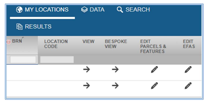
The Rural Payments and Services mapping system has a fresh new look and is called Map Viewer and LPIS Graphical Editor. The system has a whole host of new functionality and this article will take you through the key features of both the viewer and the Graphical Editor to save you time when making mapping changes or viewing your map.
If you are yet to delve into Map Viewer or LPIS Graphical Editor then this article is the place to start.
The full guidance document, tutorial videos and FAQs produced by Rural Payments and Services Land Parcel Identification System (ruralpayments.org)
Sign up to the FAS newsletter
Receive updates on news, events and publications from Scotland’s Farm Advisory Service