Online Tools to Help Assess Habitats
13 February 2024The advancement of technology and artificial intelligence has meant that surveying and recording environmental data is easier and more precise than ever before. Innovative tools making the most of geographical mapping systems, bioacoustics sound recordings, image recognition technology and data analyses and storage have provided a suite of tools that could provide valuable resources for farmers wishing to better understand and record the biodiversity across their farm.
Here we cover a range of tools that could be used to help farmers baseline different aspects of the environment across their land, covering bird and plant identification, habitat mapping and condition assessing, soil health assessments, and woodland status and condition.

What is Habitat Quality?
Different habitats, such as an ancient woodland, species-rich grassland, a hedgerow or an arable field, support varying levels of biodiversity. The quality of a habitat relates to how well each habitat is delivering its potential biodiversity.
Habitat quality can be altered by a range of factors, including pollution, overgrazing, the spread of invasive non-native species, nutrient enrichment and climate change. The quality of a habitat can be assessed through monitoring these factors directly, or through monitoring the diversity of species within that habitat and checking this against it potential.
Why is it Important to Baseline Habitat Quality?
Assessing a habitat’s quality allows you to identify where the habitat is performing well and to identify issues that are impacting quality. For example, a hedgerow may be structurally sound (tall, dense with a thick base), however, an abundance of nettles or thistles at its base could indicate nutrient enrichment from field runoff. Identifying factors that are impacting a habitat’s quality helps us to find management actions to enhance the habitat’s value.
Once recommendations are made, and action is taken to improve a habitats quality, you can monitor improvement. This will allow you to see if management has had the desired impact, and make adjustments as necessary.
With the advancement of technology, apps and online tools, more detail regarding the natural world than ever can be captured using a mobile phone. This means that you no longer have to be an expert to assess habitat quality and build a baseline of what you have on your farm.
Below are some freely available tools that can be used to help create a baseline of habitat quality.
AHDB Soil Health Check
The soil health check uses a soil health scorecard, an excel document that assesses the quality of your soil. This scorecard is made up of five core soil indicators and compares them to expected ranges for UK soil types and climate regions. These scorecards are applicable to crop and lowland grassland soils. Once the results have been entered, the tool identifies issues that require further investigation where there is a high risk of sub-optimal soil conditions.

Hover over the tiles for more information:

Healthy Hedgerow App
Healthy Hedgerow App
The Healthy Hedgerow App was developed by the People’s Trust for Endangered Species and is freely available. The app allows farmers to conduct a rapid hedgerow health check. The app works through mapping the hedgerows within a farm boundary, and the quality of each hedgerow is assessed via a handful of simple questions. The app identifies issues, and the stage that each hedgerow is in in its lifecycle providing instant management options. Hedgerow management is complex, with hedges suffering from both over and under trimming, and within their lifecycle they typically need regenerated to set the clock back. This tool provides a quick way to assess hedgerow quality and recommendations to improve this.

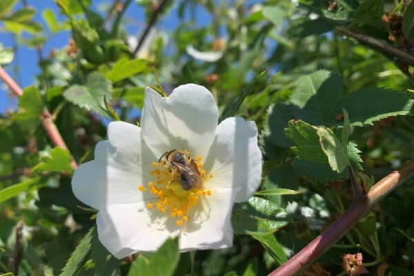
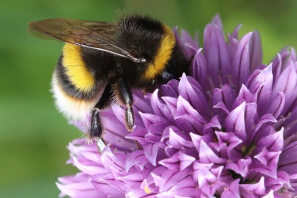
Pollinator Monitoring Scheme
Pollinator Monitoring Scheme
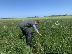
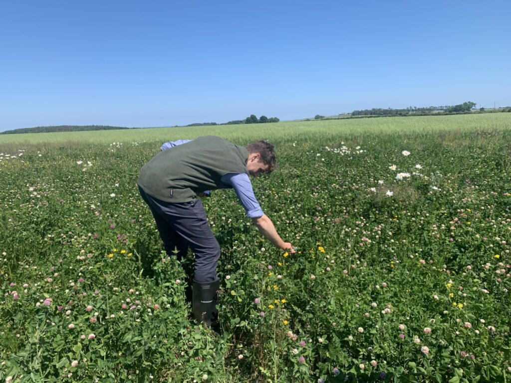
The UK Pollinator Monitoring Scheme aims to help people collect data on the abundance of bees, hoverflies and other flower-visiting insects. This can be done through a recording method called “Flower-Insect Timed Counts”, where a 50 cm x 50 cm patch of flowers is observed for 10 minutes and the number of insects visiting the flowers are recorded. This can be done anywhere, so long as there are flowers and good weather. The FIT Count App identifies your location and allows you to select the habitat (woodland, grass pasture, hedgerow edge), the flower you are looking at, and then count the number of insects that visit the flower patch. This not only provides a way to baseline and monitor pollinators on your farm, but your count will also feed into a national dataset which aims to identify the trends in key pollinators.

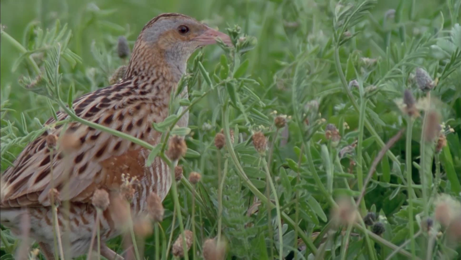
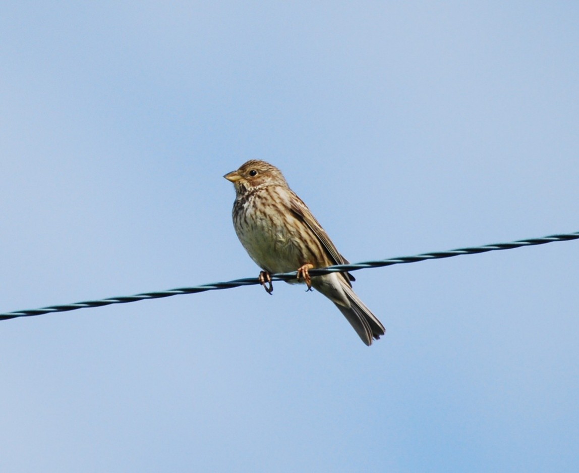
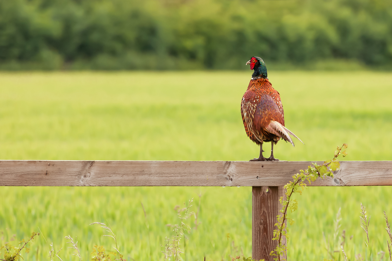
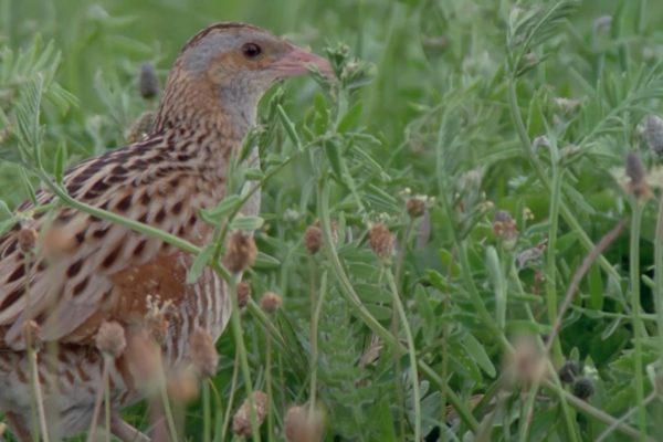
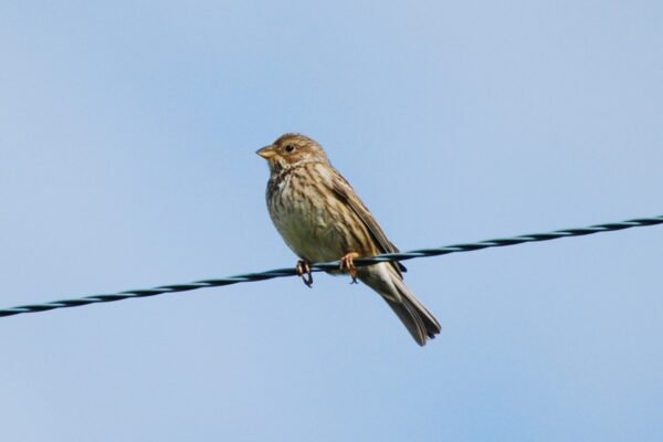
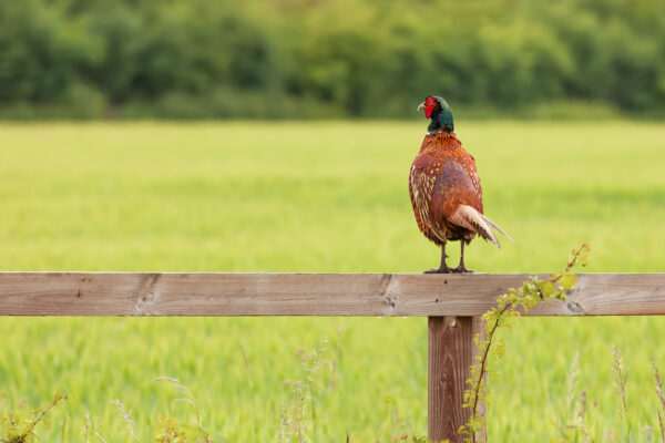
Merlin
The Merlin app was developed by Cornell Lab to help people identify birds by both sound and sight. The app is freely available and uses the microphone on your phone to record bird calls. It compares each call against a database using artificial intelligence to identify the bird species present. The app also contains a useful visual checklist that allows you to answer questions on a bird you have seen, narrowing it down to a small set of possibilities helping you to identify trickier species. This app can be used to identify what birds are using different habitats on a farm, and to record any changes that come with different management techniques to maximise bird biodiversity.

Soil Mentor
Soil Mentor is an app designed to allow soil and wildlife monitoring to be achieved within each field. This subscription-based app allows farmers to record how more regenerative practices are impacting their fields’ soil health. The app allows for field boundaries to be mapped, and text describing each field. Farmers can record a variety of metrics relating to soil health including worm counts, root depth and water infiltration rates. It stores the results of each survey allowing you to monitor progress over time.
Species ID Apps
With the advancement of AI in image recognition has come a surge of apps that can scan a photo of a plant (or in some cases any species) and give a prediction of what species you have found with varying levels of confidence.
PlantNet allows you to take a photograph of a plant, be it its leaf, flower, fruit or bark, and uses image recognition to predict the species giving an indication of confidence. Other apps such as iNaturalist can be used to predict the species of plants, insects, birds and fungi. This app provides access to teams of experts, and on posting photographs experts will provide information on the species.


For Fungi, more accurate apps such as PictureMushroom can use multiple photos of a mushroom to provide a reasonably accurate prediction of mushroom species. AI image recognition is becoming increasingly accurate, however, they are not always correct and thus should be treated with caution.
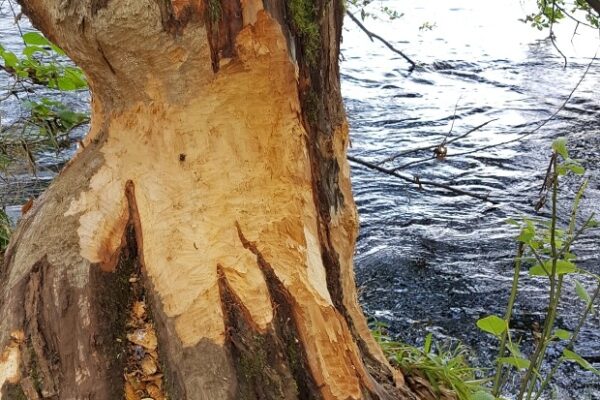
Native Woodland Scotland Survey
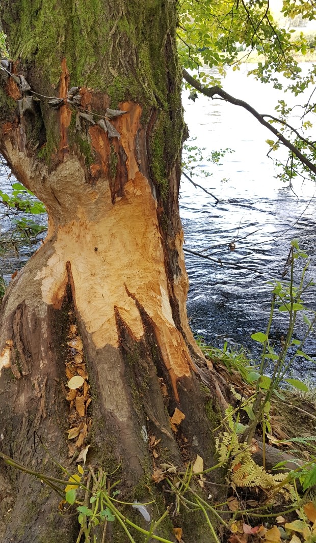
The Native Woodland Survey of Scotland (NWSS) identified and mapped the location, extent, type and condition of all of Scotland’s native woodlands. This provides information on the quality of woodlands, including canopy cover, habitat type, herbivore impact, invasive species, maturity, number of structures and type. It can be tricky to know if you have native woodland on your farm, the NWSS can help you to determine if your wood is native, and to help identify issues that might be present (e.g. deer browsing or the presence of invasive non-native plant species).

Harry Fisher, SAC Consulting


Sign up to the FAS newsletter
Receive updates on news, events and publications from Scotland’s Farm Advisory Service