
Understanding Portable Soil Moisture Meters
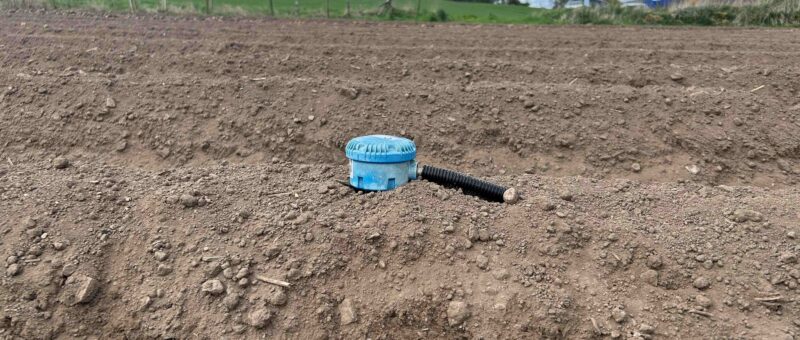
We recently published an article on in-situ moisture sensors here. But, for those wanting to experiment before taking the leap, portable meters remain a useful entry-level option. These handheld devices are pushed into the soil to provide instant readings at a single depth. They are not as accurate or comprehensive as multi-depth probes. However, they enable quick spot checks in various fields. They can be a practical starting point for smaller operations or a helpful addition to fixed sensors.
Two main sensor types are available:
- Resistive sensors pass an electrical current between exposed metal prongs to measure conductivity. They are inexpensive but prone to rapid corrosion caused by electrolysis and will fail quickly with regular use.
- Capacitive sensors detect changes in the soil's dielectric properties. The electrodes are fully sealed inside the casing, so there’s no exposed metal that can corrode. These can be more durable and less affected by soil salinity, making them better suited to repeated field use.
Tensiometers and Matric Potential Sensors
Tensiometers measure the matric potential of soil water; in other words, how tightly water is held in the soil and how accessible it is to plant roots. In drier soils, tension is higher and water is harder for plants to extract; in wetter soils, tension is lower and water is more readily available. Installed at root depth, they show how much water plants can access. This helps set specific irrigation triggers for crops. Their performance drops in very dry conditions. Still, they are a simple and reusable technology that works well with other sensors.
Remote Sensing and UAV-Based Monitoring
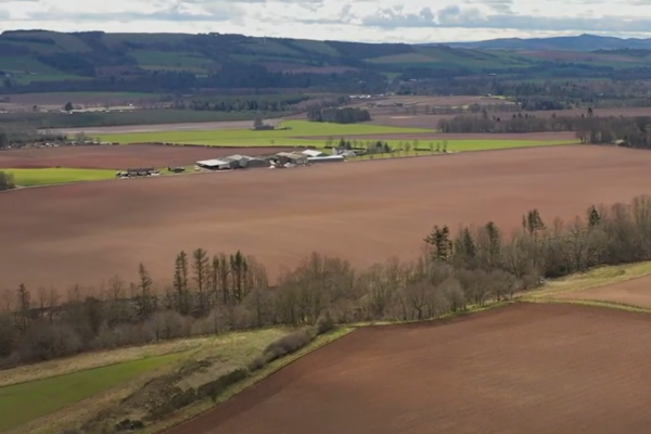
Remote sensing allows us to monitor soil moisture across entire fields and regions, not just at single points. Satellite, airborne, and UAV-mounted sensors gather data in optical, thermal, and microwave bands. This data helps us understand soil moisture and crop water status. High-resolution soil moisture maps generated from this data can support:
- Identification of irrigated areas and zones of water stress
- Variable rate irrigation and targeted interventions
- Assessment of water use efficiency at field and catchment scale
Research that combines microwave and optical data shows that high-resolution remote sensing can estimate irrigation needs. This helps improve water use efficiency in commercial cropping systems. UAV-based multispectral and thermal imagery, combined with machine learning, is used to map soil moisture at various depths in orchards and field crops.
In practice, this technology remains beyond the reach of most individual farms at present. The sensor systems, data processing workflows, and analytical skills required are primarily specialist and research-level. Farmers usually receive remote sensing data as a background layer in farm management software. They also use in situ probes to verify and improve decisions at the field level.
Jack Zuill, SAC Consulting





Sign up to the FAS newsletter
Receive updates on news, events and publications from Scotland’s Farm Advisory Service